UTILITY MAPPING TECHNICAL COMMITTEE (JTPU) MEETING IN 2022 | 12 SEPTEMBER 2022
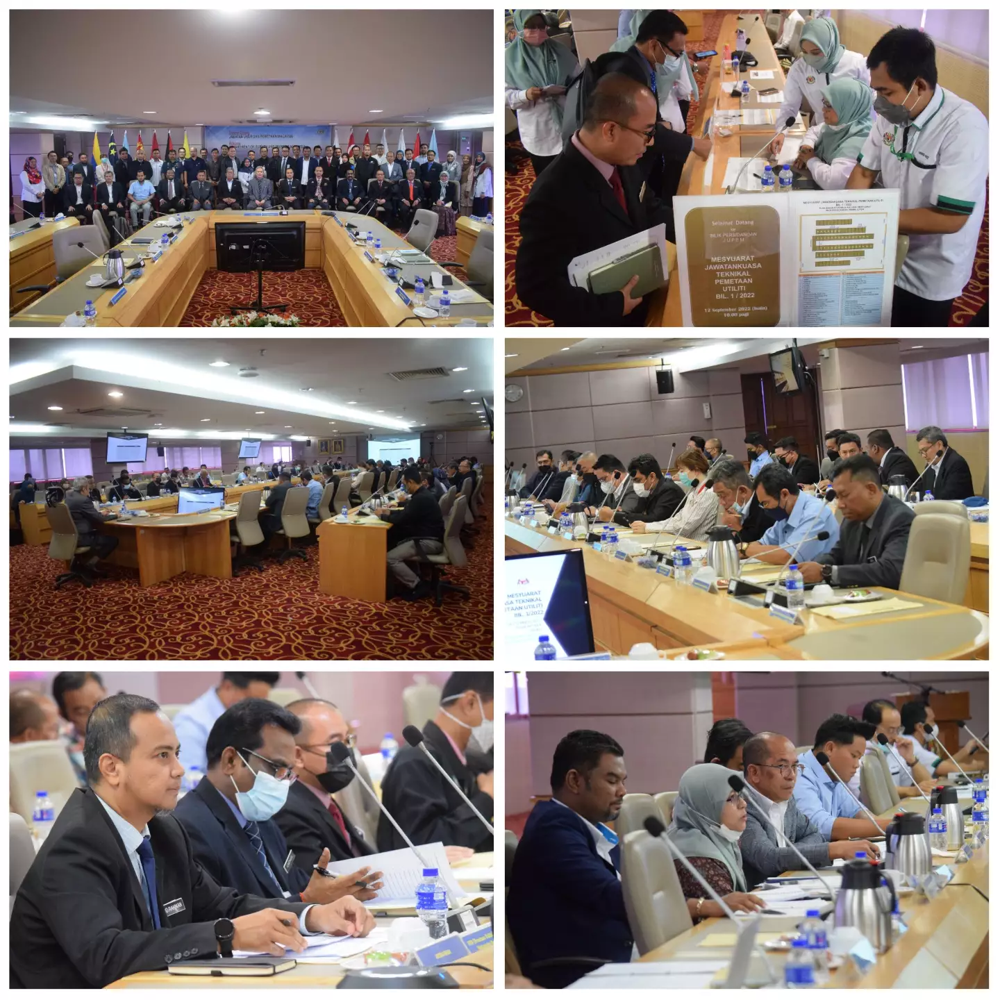
The Utility Mapping Technical Committee (JTPU) held the 2022 JTPU Meeting on 12 September 2022 (Monday) at the 15th Floor Conference Room, Wisma JUPEM chaired by YBrs. Sr Hazri bin Hassan, Deputy Director General of Surveying and Mapping II. Also present at this meeting consisted of the JTPU Secretary YBrs. Sr Abd Rahman bin Mohd Jazuli @ Mahmood who is also the Survey Director of the Utility Mapping Division (BPU) as well as JUPEM officers.
This JTPU is one of the Committees established under the National Spatial Policy and Mapping Committee (JPDSN) on 7 June 1994 in Miri, Sarawak. The objective of this committee is to determine program policy and information mapping activities of public facilities related to underground utilities so that they can be coordinated and implemented efficiently and effectively by all agencies involved. In this session, the JTPU Meeting was attended by a total of 52 people consisting of 27 permanent members of agencies/departments and 9 associate members, namely the Sabah Land and Survey Department (JTUS), Local Government Department (JKT), Kuala Lumpur City Hall (DBKL), Department Public Works (JKR), Town and Country Planning Department (PLANMalaysia), Sewerage Services Department (JPP), National Geospatial Center (PGN), Department of Environment (DOE), Malaysian Fire and Rescue Department (BOMBA), Malaysian Space Agency (MySA ), Malaysian Highway Authority (LLM), Telekom Malaysia Berhad (TM), Gas Malaysia Berhad (GMB), Indah Water Konsortium Sdn. Bhd. (IWK), Puncak Niaga Holdings Bhd., Pengurusan Air Selangor Sdn. Bhd., Negeri Sembilan Water Company (SAINS), Radicare Malaysia Sdn. Bhd., Southern Waste Management (SWM), Syarikat Equarater (Penang) Sdn. Bhd., the National Water Services Commission (SPAN) and the Malaysian Communications and Multimedia Commission (SKMM). Also present were representatives of the Malaysian Board of Land Surveyors (LJT), the Malaysian Association of Certified Land Surveyors (PEJUTA) and the State Utility Corridor.
Among the matters that were discussed during the meeting was the reception of agency utility data and the utility mapping activities carried out by JUPEM as a Government agency that was given a mandate by the Cabinet in 1994 for JUPEM to become the central repository of utility data in Malaysia. In addition, a presentation related to the Augmented Reality Underground Utility Mapping System (ARUUMS) was also delivered by JUPEM during this meeting.