TECHNICAL TOUR ALONG THE SANGLANG RIVER BORDER BETWEEN KEDAH STATE AND PERLIS STATE | 27 SEPTEMBER 2022
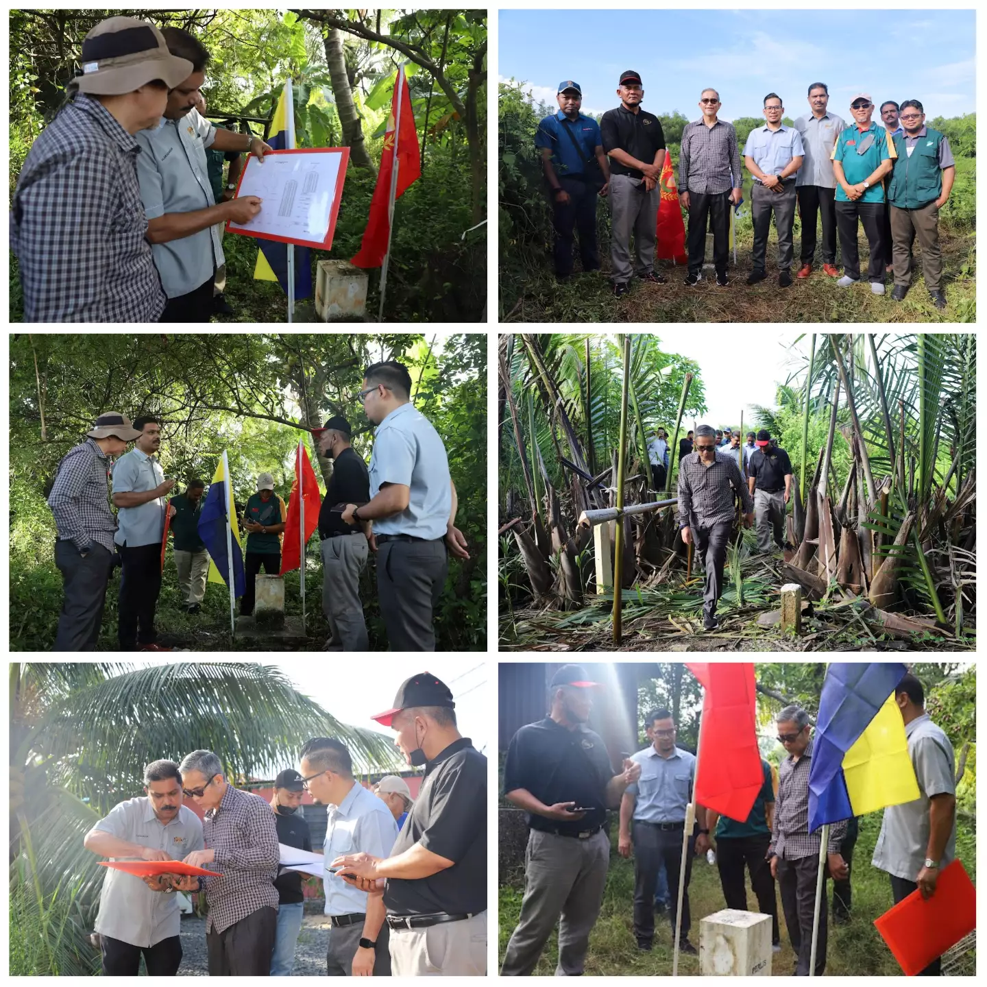
A technical visit to the border area between the State of Kedah and the State of Perlis along the Sanglang River was held on the morning of 27 September 2022 to continue the efforts to finalize the land boundary that had been completed and marked and measured by the Peninsular Malaysia Topographic Mapping Division in early 2017 and completed in 2020.
This visit was led by YBrs. Sir Mohammad Zaki bin Mohd Ghazali, Director General of Surveying and Mapping Malaysia. This visit was also attended by Sr Tsalimy bin Abdullah, Director of Surveying and Mapping of Kedah State, Sr Mohd Khairani bin Md Yusop, Director of Surveying and Mapping of Perlis State and Sr Azuan Shah bin Muhamad, Assistant Director of Surveying (Taiping Region Topography Office) representing the Divisional Surveying Director Topographic Mapping of Peninsular Malaysia.
An explanation of the status and condition of the field was presented by Mr. Alakasvaran a/l Muniandy, a representative of the Boundary Affairs Division, particularly in relation to the determination of the boundary from Point A to Point C along the Sanglang River based on the Memorandum of Understanding (MoU-2) of the Intention of Marking and Measurement which was signed on 14 March 2017. The final distance after carrying out detailed measurements is 7.0 kilometers.