NATIONAL ATLAS TECHNICAL COMMITTEE MEETING NUMBER 1 YEAR 2022 | OCTOBER 14, 2022
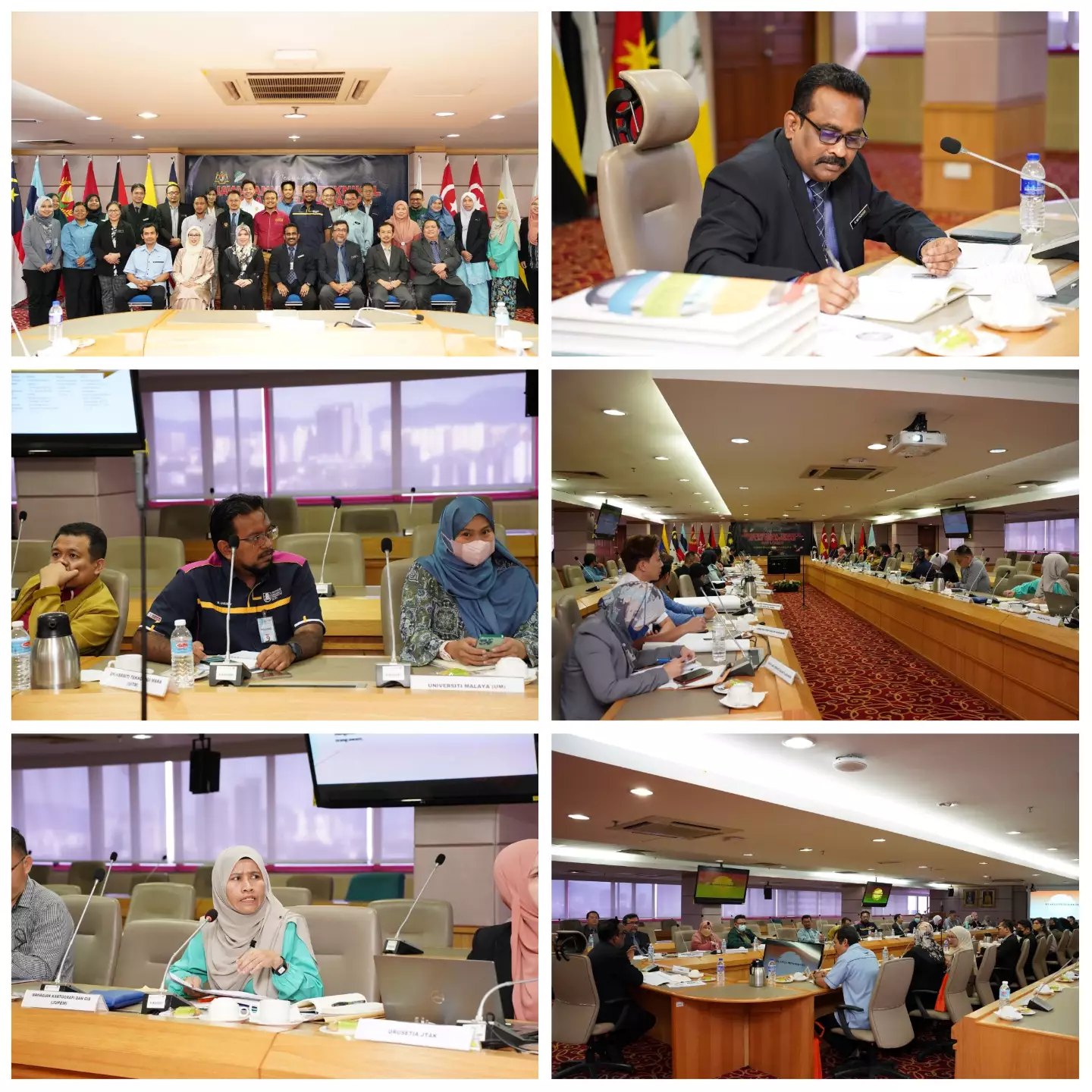
Meeting of the National Atlas Technical Committee (JTAK) No. 1 Year 2022 was held on 14 October 2022 at the 15th Floor Conference Room, Wisma JUPEM which was chaired by Sr. K. Mathavan a/l S. Kumaran, Sectional Survey Director, Cartography and GIS Division, JUPEM.
JTAK is one of the committees under the National Mapping and Spatial Data Committee (JPDSN) where the main objective of the establishment is to ensure that spatial data and various important and interesting information about Malaysia can be conveyed to students, administrators and the public through the publication of the National Atlas.
JTAK is chaired by the Survey and Mapping Department of Malaysia (JUPEM) with a membership of 26 agencies including the Malaysian Ministry of Education, Sarawak Land and Survey Department, Sabah Land and Survey Department, Public Works Department, National Geospatial Center (PGN), Malaysian Space Agency (MYSA) , Department of Forestry and Peninsular Malaysia (JPSM), Department of Minerals and Geoscience Malaysia (JMG), PLANMalaysia (Department of Town and Country Planning), Department of Indigenous Development (JAKOA), Department of Meteorology Malaysia (METMalaysia), Department of Agriculture Malaysia, Department of Statistics Malaysia , Sarawak Forestry Department, Sabah Forestry Department, Sabah Agriculture Department, Sarawak Agriculture Department, Sabah Urban and Regional Planning Department, Tourism Malaysia, Language and Library Council, Universiti Malaya, Universiti Teknologi Malaysia, Universiti Teknologi MARA, Election Commission and National Heritage Department .
The meeting held this time aims to inform the publication status of the Second Edition National Atlas book and discuss the future direction of JTAK to ensure that the publication of the National Atlas is always relevant and that the geospatial information displayed can attract public users through the use of cartographic and infographic elements in the publication of maps.